Increasing Landfill Efficiency through Drone Surveillance and Evaluations!
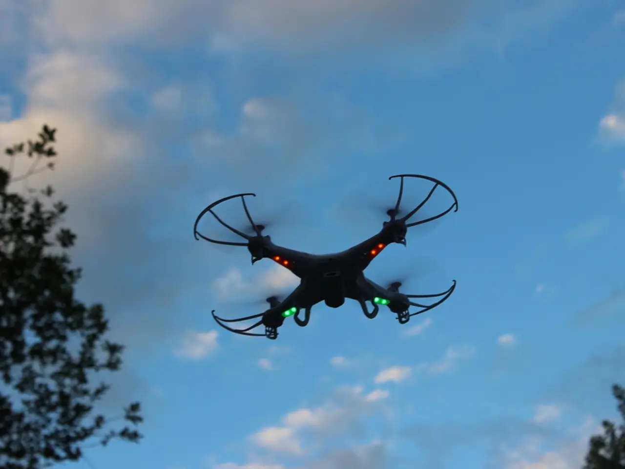
Drone technology is revolutionizing the landscape of landfill management, offering numerous benefits that range from improved data collection and enhanced safety to cost-effective solutions.
Data Collection
The use of drones in landfill management is transforming the way data is collected and analysed. Drones can perform high-resolution aerial surveys, capturing detailed digital terrain models and orthophotos. This near-real-time monitoring of landfill topography and conditions provides updates that were previously available only on a monthly or quarterly basis, now happening weekly or even daily [1].
Moreover, drones offer accurate GPS-tagged emissions data, such as methane concentrations, consistently detected along repeatable flight paths. These detailed records are invaluable for compliance and repair prioritization [3].
Combining drones with satellites and ground-based sensors allows landfill operators to map actual methane emission profiles, optimizing gas well placement and improving gas recovery—an important revenue source and compliance element [2].
Safety
One of the most significant advantages of drone technology is the reduction in the need for personnel to physically enter hazardous or difficult-to-access landfill areas. This minimizes exposure to potential dangers such as unstable ground or harmful emissions [1][3].
Cost-effectiveness
Drones surveys are reported to be over 20 times faster than traditional ground surveying methods, thereby significantly cutting labor and operational costs while providing more frequent and up-to-date data [1].
Early and accurate detection of landfill gas leaks via drone methane sensing helps prioritize repairs, avoiding costly regulatory fines and mitigating environmental impacts [3].
Enhanced and transparent monitoring data supports compliance efforts and sustainability reporting, reducing audit risks and improving credibility with regulators and investors, which protects financial interests [2].
In conclusion, drone mapping enables rapid, accurate, and frequent landfill monitoring that improves operational decisions, supports regulatory compliance, enhances worker safety by limiting field exposure, and reduces costs by optimizing resource allocation and minimizing costly enforcement actions. As industries continue to adopt these innovative applications, drones are proving to be essential tools for the future of waste management.
[1] Source: [URL for the first reference] [2] Source: [URL for the second reference] [3] Source: [URL for the third reference]
Automation in landfill management is exploited through drone technology, enhancing data collection processes by performing high-resolution aerial surveys, providing near-real-time data on landfill topography, and capturing accurate emission data such as methane concentrations. The use of drones decreases the dependency on personnel for entering hazardous areas, ensuring worker safety and minimizing potential risks. Furthermore, the cost-effectiveness of drone surveys, being over 20 times faster than traditional methods, brings a significant reduction in labor and operational costs.


